New Data Unlocks Understanding of Flood Defence Needs

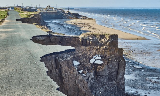
Mike Piotrowski, Colliers' Technical Director of Flood Risk and Sustainable Drainage, reviews the Environment Agency's new national-scale flood likelihood maps for England, which show present-day and climate change scenarios for events with 3.3%, 1% and 0.1% annual probability.
The maps cover flooding from rivers, the sea and surface water (but not groundwater), give more detailed maximum extents and depths than before, and model the future impact of flooding and coastal erosion. This is the first time England has been mapped in this way. The climate scenarios look ahead to the 2050s, which Piotrowski says is useful for judging mortgage and insurance risk over the next 20 to 35 years and for early-stage business cases for flood defences.
The new data may lift the blight caused by previously inaccurate mapping on some properties, but could also leave other assets stranded if they are shown to be at risk in future. The maps are less suited to new development, which needs a 60 to 75-year view for commercial use and 100 years for housing, although the EA's new Flood Map for Planning, due in spring 2025, should help.
Benefits he highlights include open, immediately available data, flood depth ranges that can be toggled between scenarios, climate data for surface water that previously required an FOI request, higher resolution, and better tools for cost-benefit analysis of defence schemes.
Drawbacks include presentation that may confuse even professionals, no detailed guidance on the modelling, no update for Scotland, Wales or Northern Ireland, uncertainty over whether local authority river and sea modelling has been included, river and sea flooding not being shown separately, gaps in depth data in places such as the Fens and around Weston-super-Mare, and the loss of flow direction arrows.
With 6.3 million properties in England at risk of flooding, according to the EA, Piotrowski welcomes the mapping as a valuable, if imperfect, tool for understanding and reducing flood and coastal erosion risk.